Dataset preview
YUTO MMS
SLAM benchmark for urban mobile mapping with tilted LiDAR and a panoramic camera; four sequences totalling 20.1 km.
2025 · IJRR
Project page →AI that perceives, reasons about and acts in physical space
RESEARCH DIRECTION
Drones and robots sense the world, build accurate 3D world models, and use those models to predict, decide and act. What they learn from acting flows back to update the model.
Results of action feed back into sensing, closing the loop.
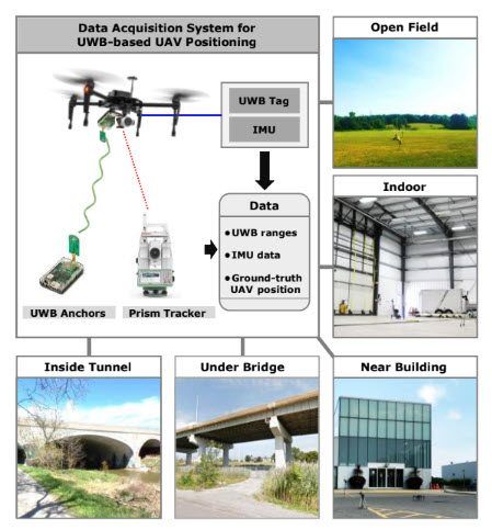
PILLAR 01 · SEE THE WORLD NOW
Drones, mobile mappers and satellites collect LiDAR, imagery and orbital observations. We fuse these sensors and detect what matters in them, from tiny objects in orbit to people on a sidewalk.
TOPICS
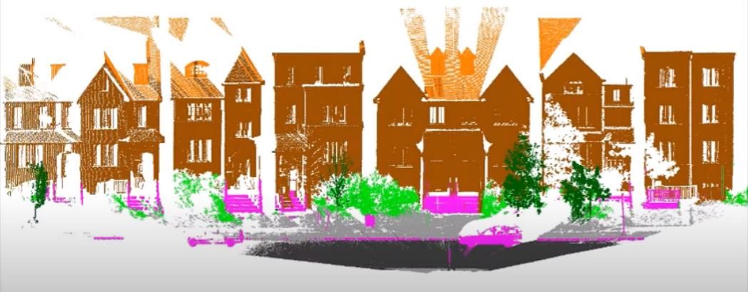
PILLAR 02 · KNOW WHAT THE WORLD LOOKS LIKE
We turn sensor data into accurate, structured 3D models of cities and infrastructure, from building geometry to semantic BIM, so machines can reason about space.
TOPICS
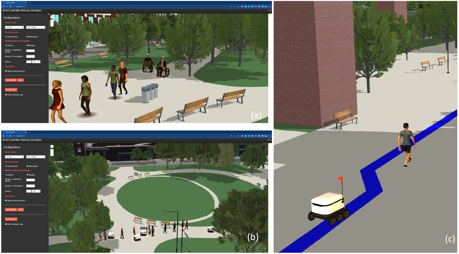
PILLAR 03 · PREDICT WHAT HAPPENS BEFORE ACTING
With a world model in hand, agents can plan, simulate and act. We build agents that map on their own, connect spatial graphs to language models, and simulate how people and vehicles move.
TOPICS
Funded projects, current and past
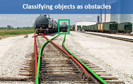 OnTRAC
Ontario Train Autonomy Collaboration (OnTRAC) Project (April 2019 – March 2021) is to develop and demonstrate a prototype system of a high-performance Obstacle Detection, Classification and Tracking (ODCT) solution to…
OnTRAC
Ontario Train Autonomy Collaboration (OnTRAC) Project (April 2019 – March 2021) is to develop and demonstrate a prototype system of a high-performance Obstacle Detection, Classification and Tracking (ODCT) solution to…
 Progressive 3D City Modelling
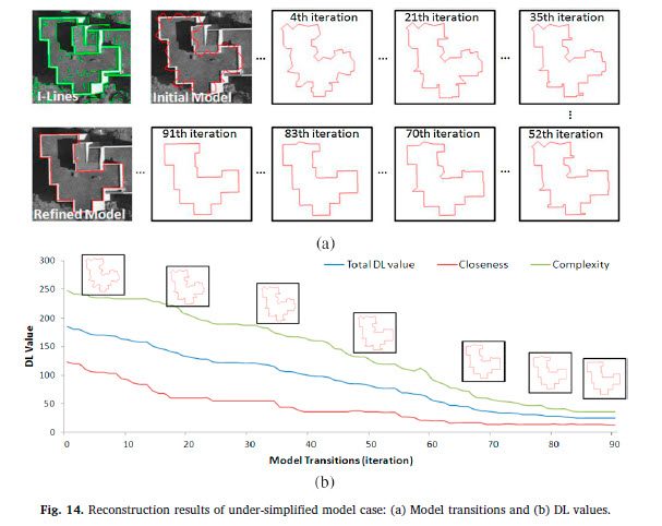
Dr. Jaewoo Jung published his research work on 3D building modeling methods in the ISPRS Journal ( doi.org/10.1016/j.isprsjprs.2019.01.003) . This journal suggests an innovative method for automatically updating an…
Progressive 3D City Modelling
Dr. Jaewoo Jung published his research work on 3D building modeling methods in the ISPRS Journal ( doi.org/10.1016/j.isprsjprs.2019.01.003) . This journal suggests an innovative method for automatically updating an…
 Q-Drone
 is a research-oriented unmanned aerial vehicle (UAV), which provides objective path planning to meet the requirements of critical infrastructure mapping such as the complete and homogeneous quality of…
Q-Drone
Q-Drone is a research-oriented unmanned aerial vehicle (UAV), which provides objective path planning to meet the requirements of critical infrastructure mapping such as the complete and homogeneous quality of…
SLAM benchmark for urban mobile mapping with tilted LiDAR and a panoramic camera; four sequences totalling 20.1 km.
2025 · IJRR
Project page →Aerial LiDAR for 3D semantic segmentation: about 738 million points over 9.46 km² of York campus, nine classes.
2023
Hugging Face →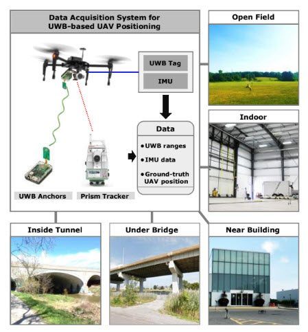
Benchmark for ultra-wideband radio-based UAV positioning.
2020 · IROS
Benchmark site →Airborne LiDAR dataset for single-tree detection with 5,000 annotated trees.
2022
Available on requestImage dataset for industrial plume rise measurement, with plume masks.
2026 · FRDR
Available on requestUAV imagery ready for 3D reconstruction.
2019
Available on requestGOVERNMENT & FUNDERS
INDUSTRY
AFFILIATIONS